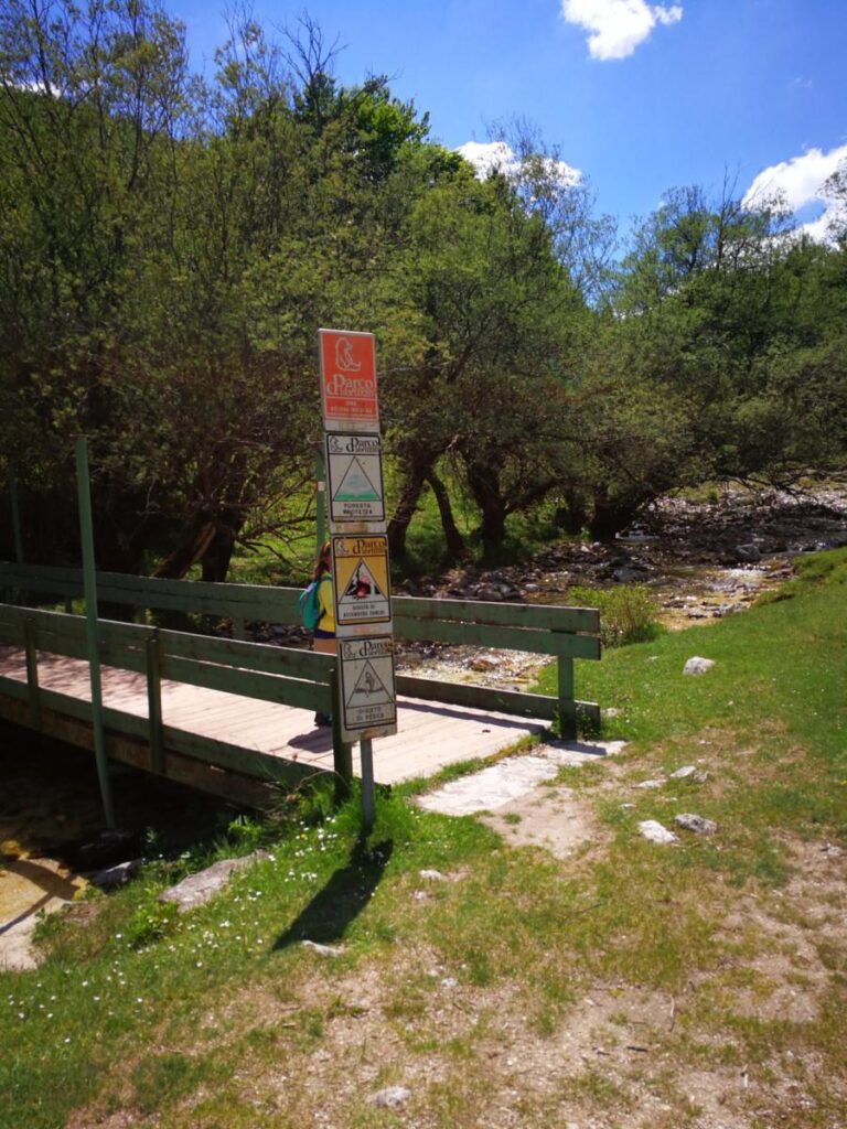
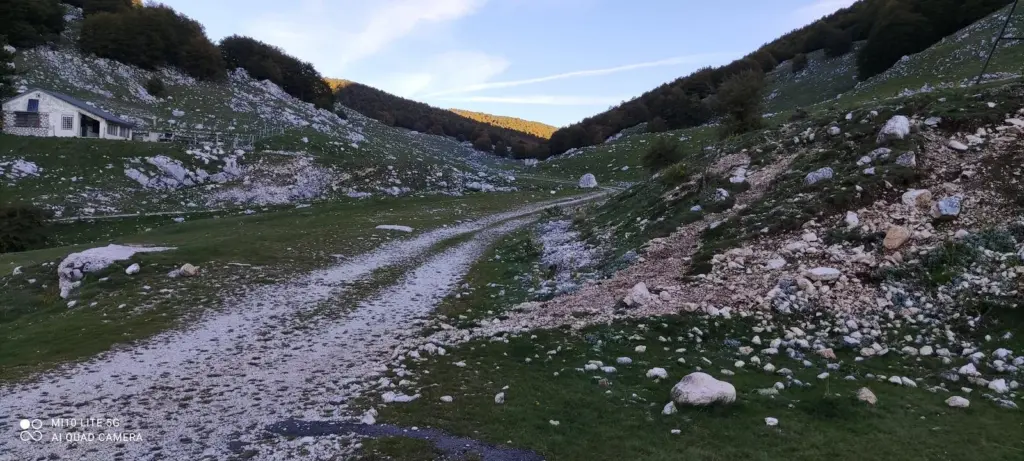
The P3 trail of the Abruzzo, Lazio and Molise National Park is a hiking trail that starts from Forca d'Acero and arrives at the Inguagnera Pass. With a length of 4.19 kilometers, this route requires about 2 hours of walking. The difficulty is rated as "E" (Hiking), making it suitable for people with average physical condition who wish to explore the park on foot, bike or horseback. Dogs in tow are also welcome, making this trail accessible to those who like to share their adventures with their four-legged friends.
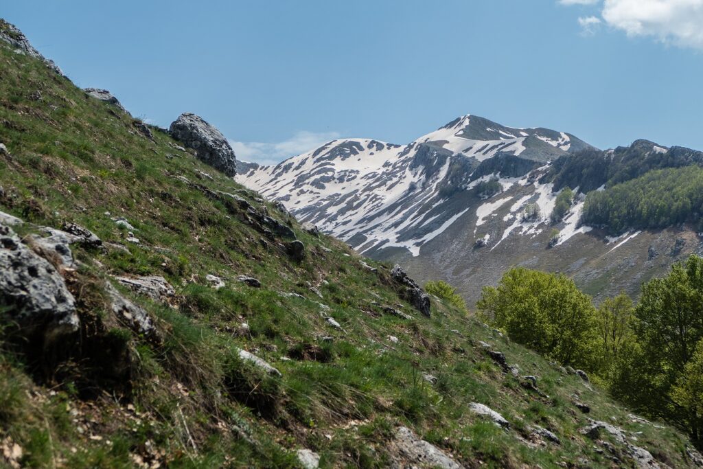
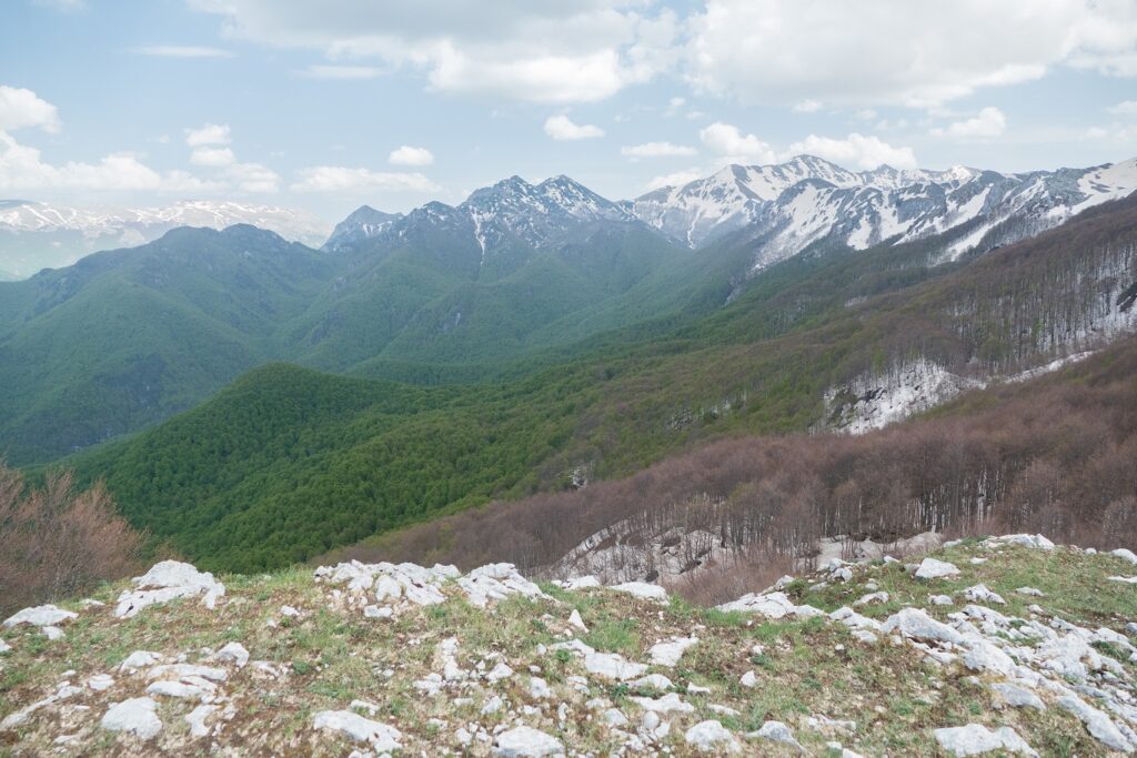
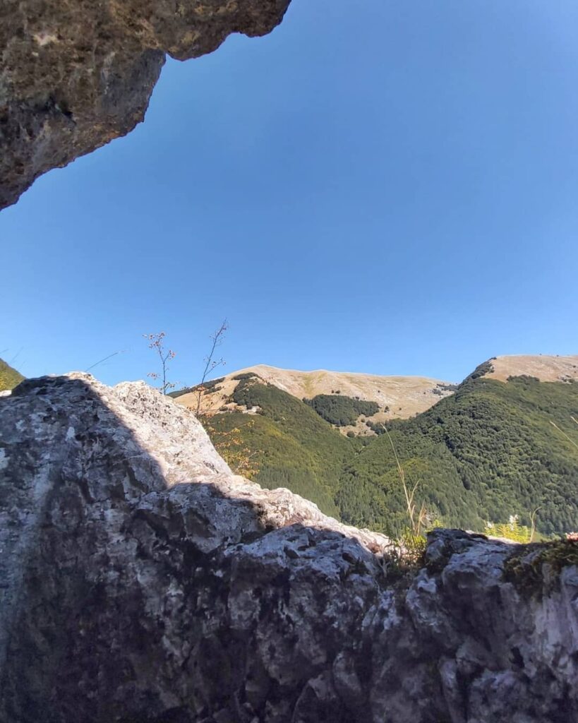
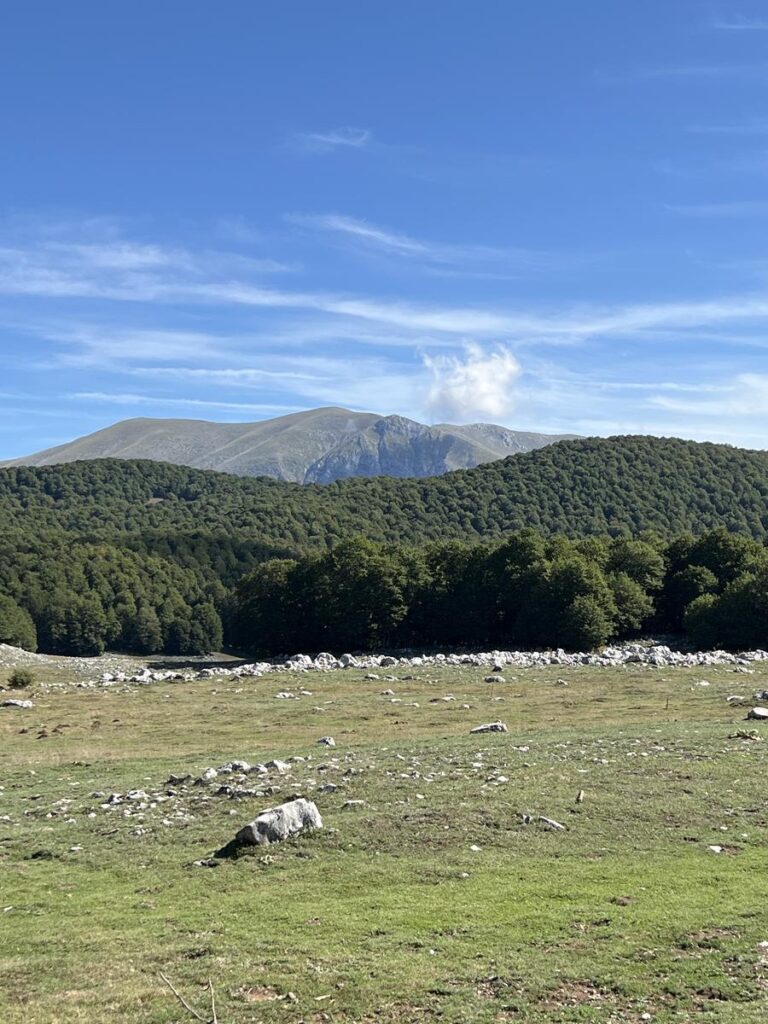
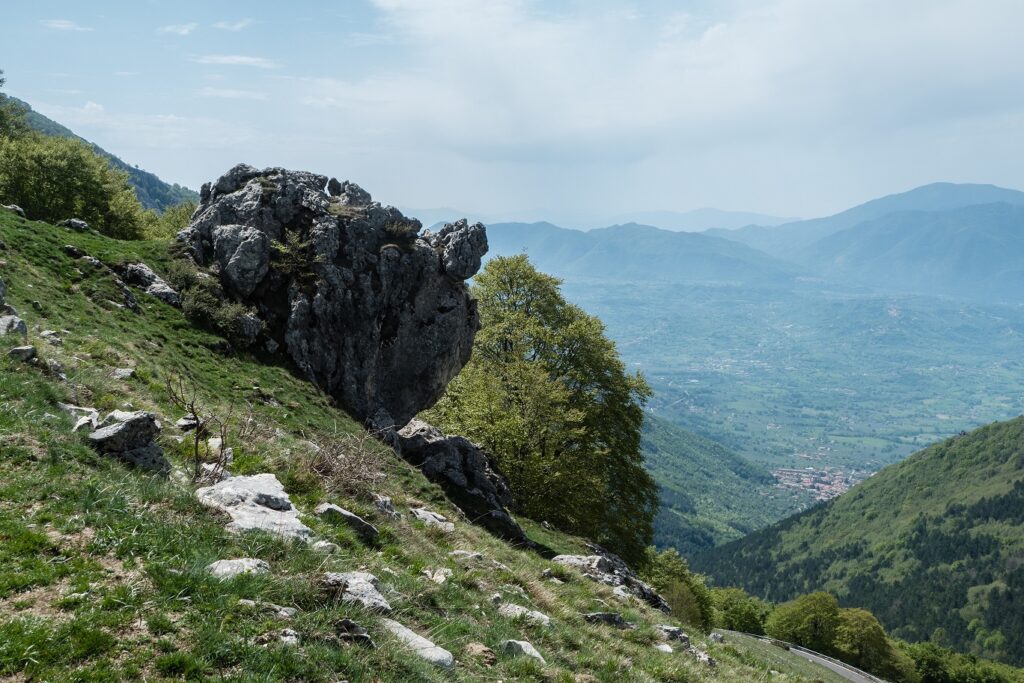
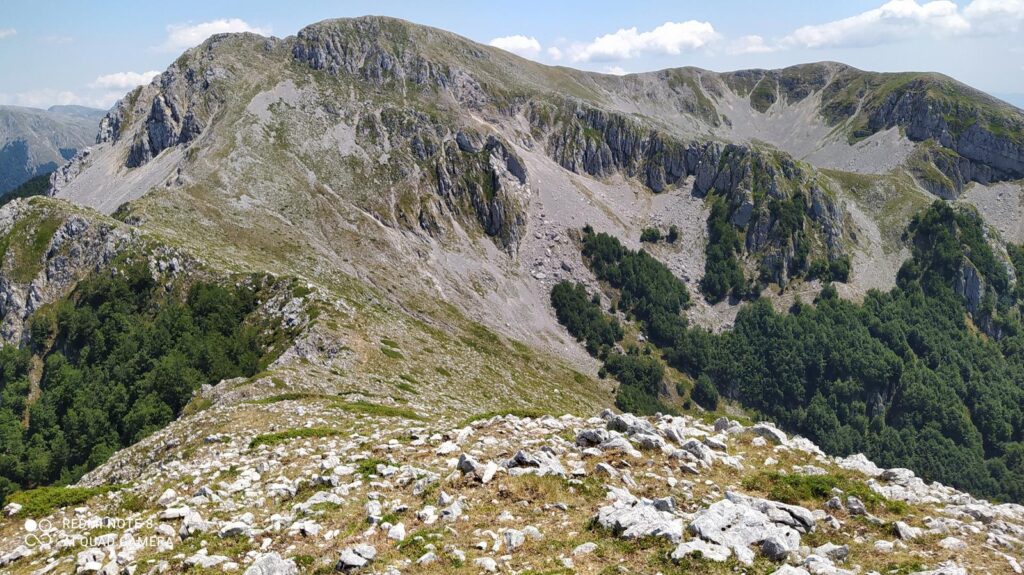
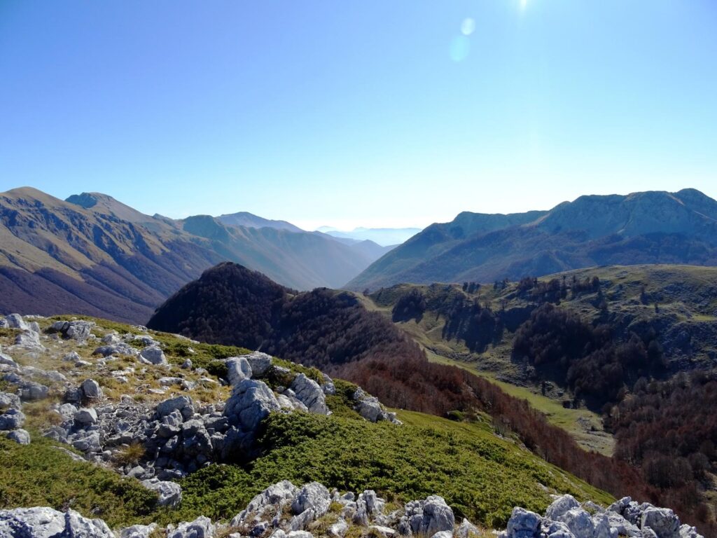
Trail P3 winds through striking mountain landscapes where unspoiled nature reigns supreme. Starting from Forca d'Acero, one of the most scenic passes in the park, the hiker is immediately immersed in an environment of extraordinary beauty. Beech forests, typical of the central Apennines, dominate the landscape, providing shade and coolness along the way. Along the way, you cross wooded areas and mountain grasslands, where you can encounter the wildlife that inhabits these lands.
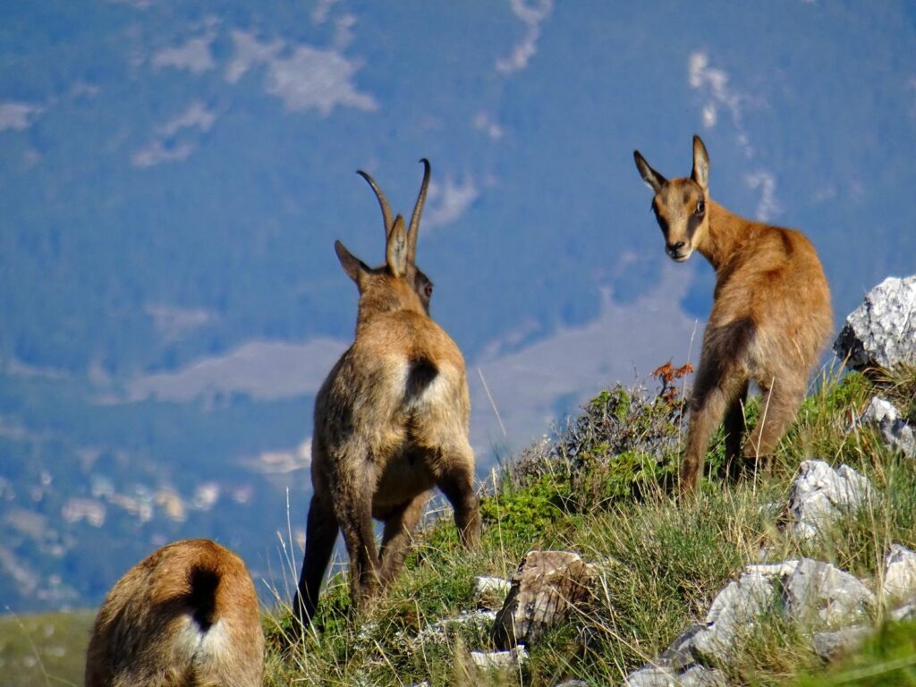
Abruzzo, Lazio and Molise National Park is famous for its biodiversity and for the presence of some of the most iconic animal species in the Apennines. Among the park's most celebrated inhabitants are the Marsican brown bear, the undisputed symbol of these mountains, and the Apennine wolf. Encountering them in their natural habitat, perhaps on a hike along the P3 trail, is a breathtaking experience and inspires deep admiration for the wilderness. Apennine chamois, deer and roe deer also live in these areas, and the golden eagle, with its majestic flight, often flies over the mountain peaks.
San Donato Val di Comino, a picturesque village located in the vicinity of Forca d'Acero, is an ideal starting point for those wishing to explore the Abruzzo, Lazio and Molise National Park. With its cobblestone streets and old stone houses, San Donato offers a cozy retreat for those who want to regenerate after a day of hiking.
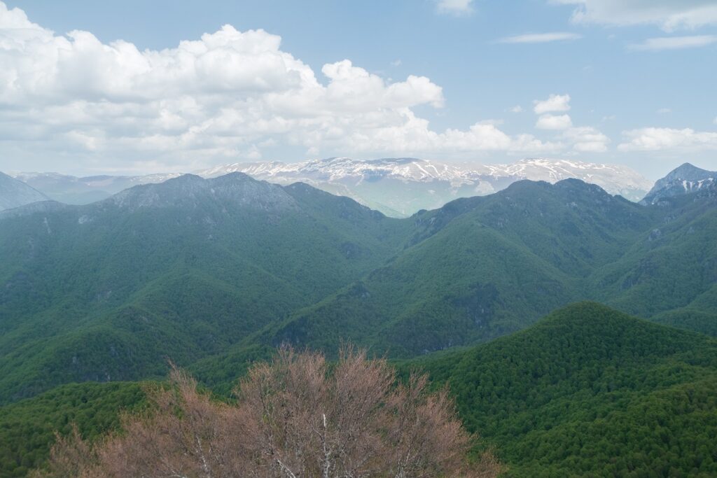
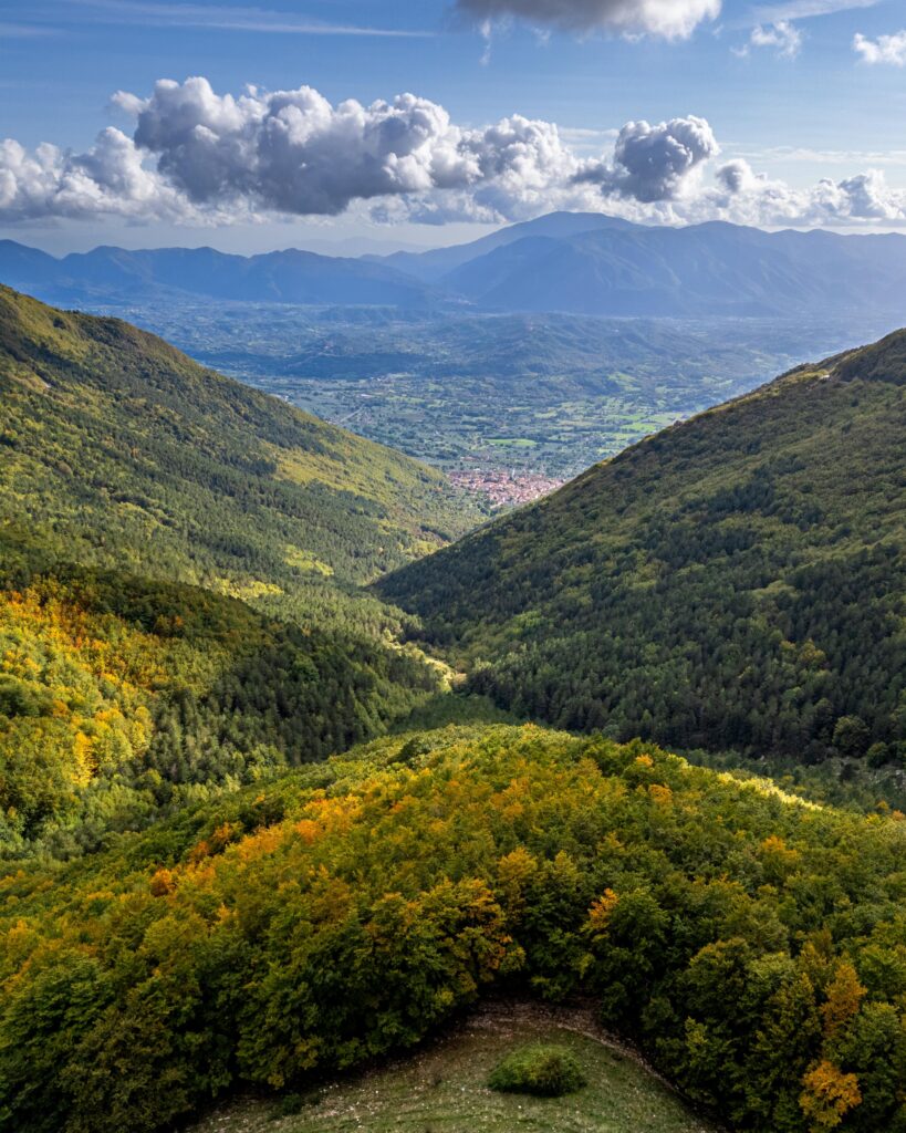
The park's flora is equally extraordinary. Beech forests, which cover much of the land, are a characteristic feature of the landscape. These majestic trees, with their intertwining branches, create a green mantle that stretches for miles, offering a natural spectacle that changes with the seasons. In spring and summer, the forest is filled with life and color, while in autumn it transforms into a mosaic of warm, welcoming hues.
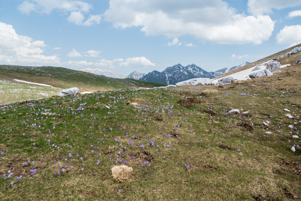
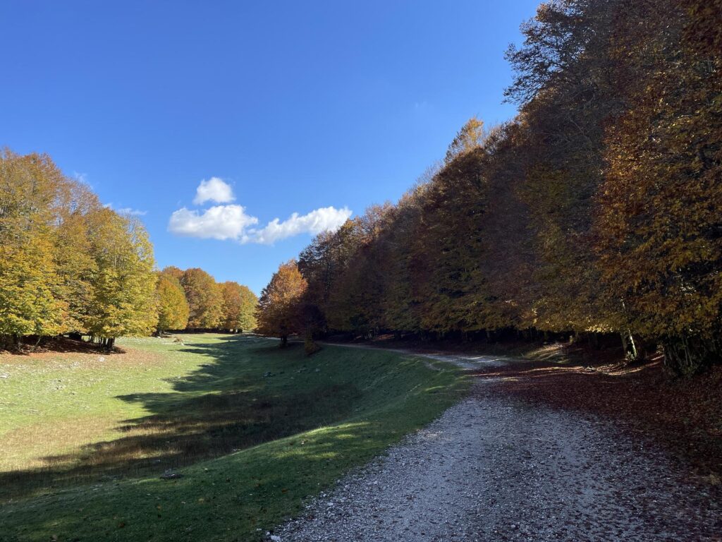
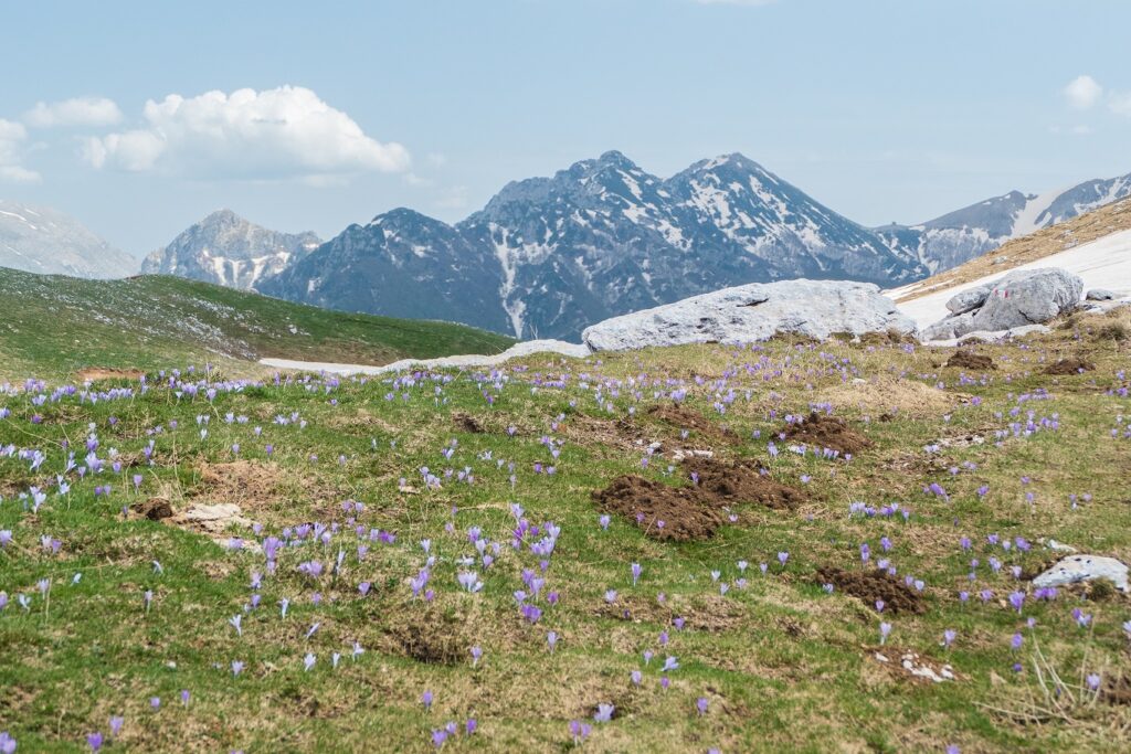
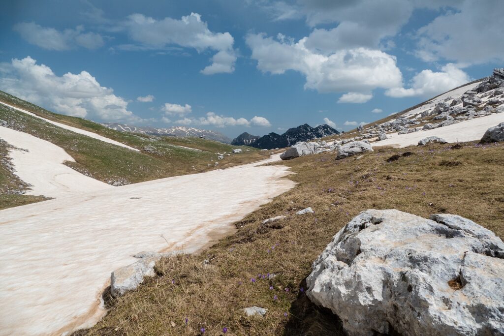
The year-round P3 trail offers different experiences depending on the season. In spring, nature awakens, with flowers blooming and animals preparing for summer. In summer, the trail is a cool refuge away from the heat of the cities, while in autumn, the landscape is dressed in warm colors. Even winter, with snow covering the mountains, transforms the trail into a fairy-tale landscape.


